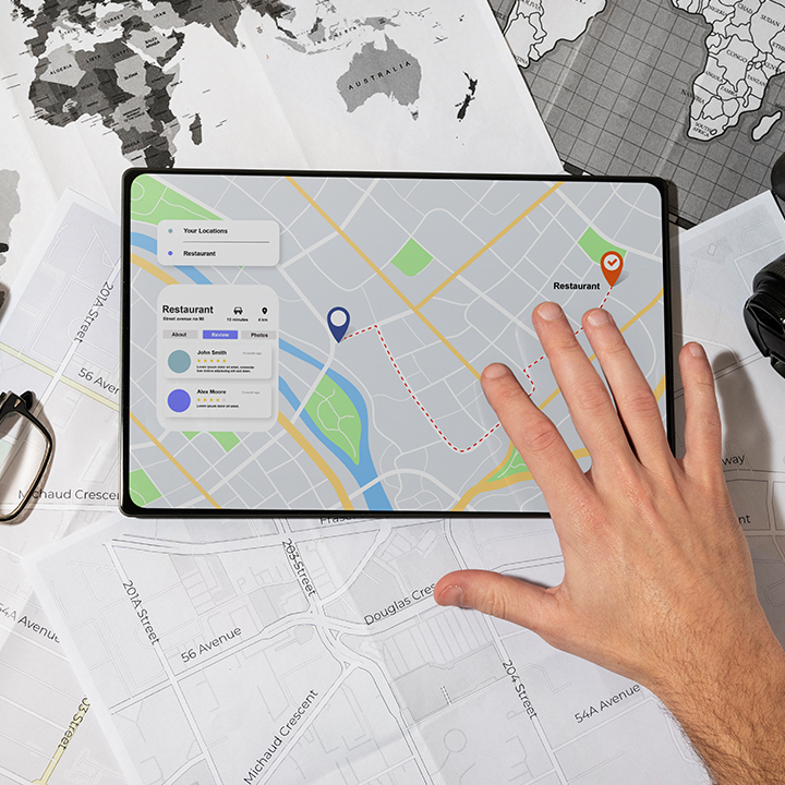
- Allowing users to analyze geographical data to make informed decisions.
- Intuitive visualizations to better understand patterns, trends, and relationships.
- Enable precise planning to optimize resource allocation & infrastructure development.
- Provide up-to-date insights into dynamic phenomena such as traffic patterns, weather conditions, & so on.
- Extend comprehensive spatial information for better planning, resource management, & risk assessment.
GIS BASED APPLICATIONS

